Building date: Both build and razed dates are unknown.
Original use: Blacksmith Shop
Corner structures:
Mortar application and content:
Types and uses of stones:
Types and choice of windows:
Structures with similar masonry details:
Masons who worked on building:
Unique features:
Map views courtesy Google Maps. Google Earth approximate location; 43°14'07.97"N 77°03'44.24"W.
Town of Sodus and Wayne County 1978 Highway Maps
John W. Myers Marble Works history sheet. From the personal research of cobblestone historian Karen Crandall.
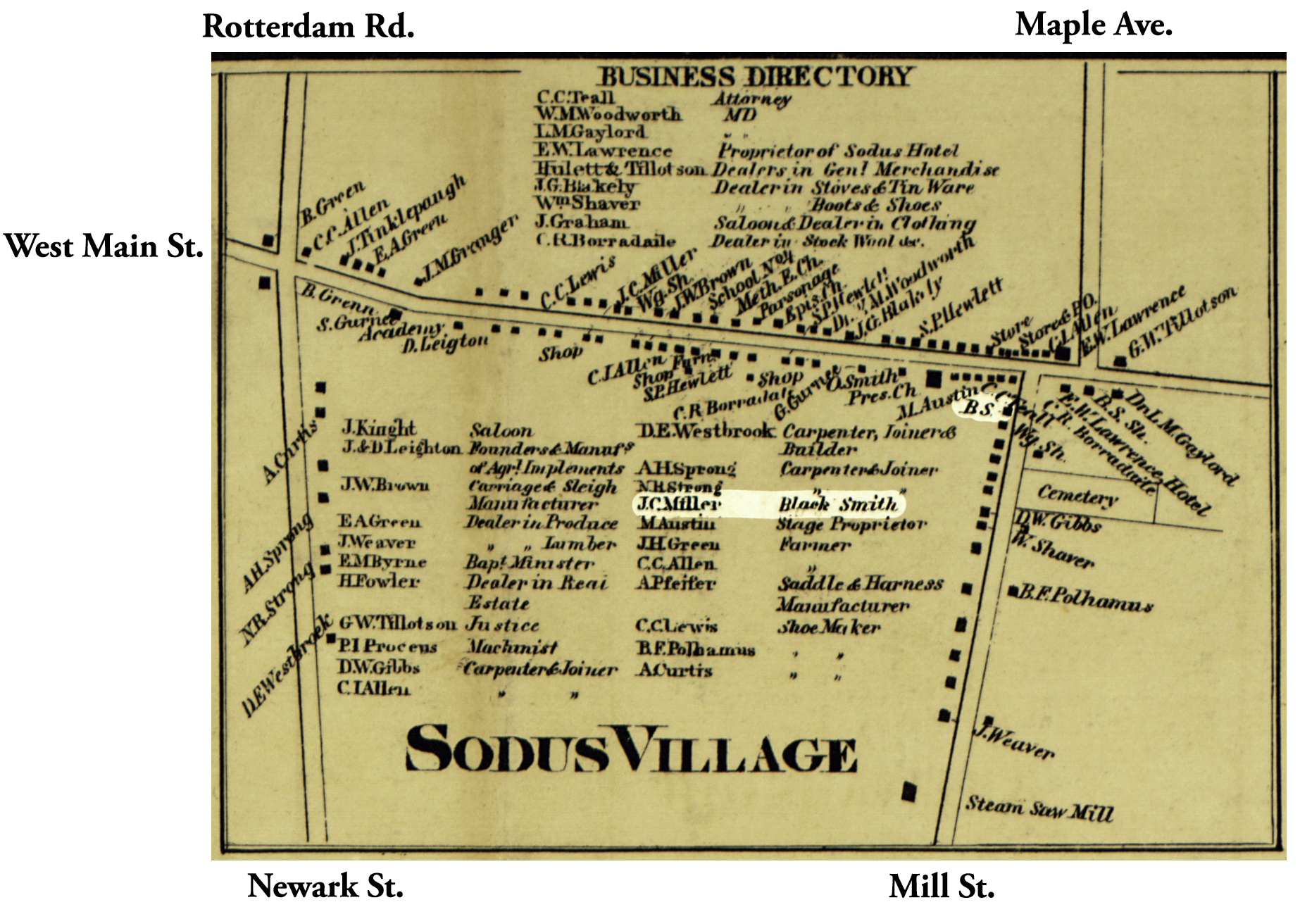 1858 Wayne County Sod-48 Excerpt Map.jpg ¹ | 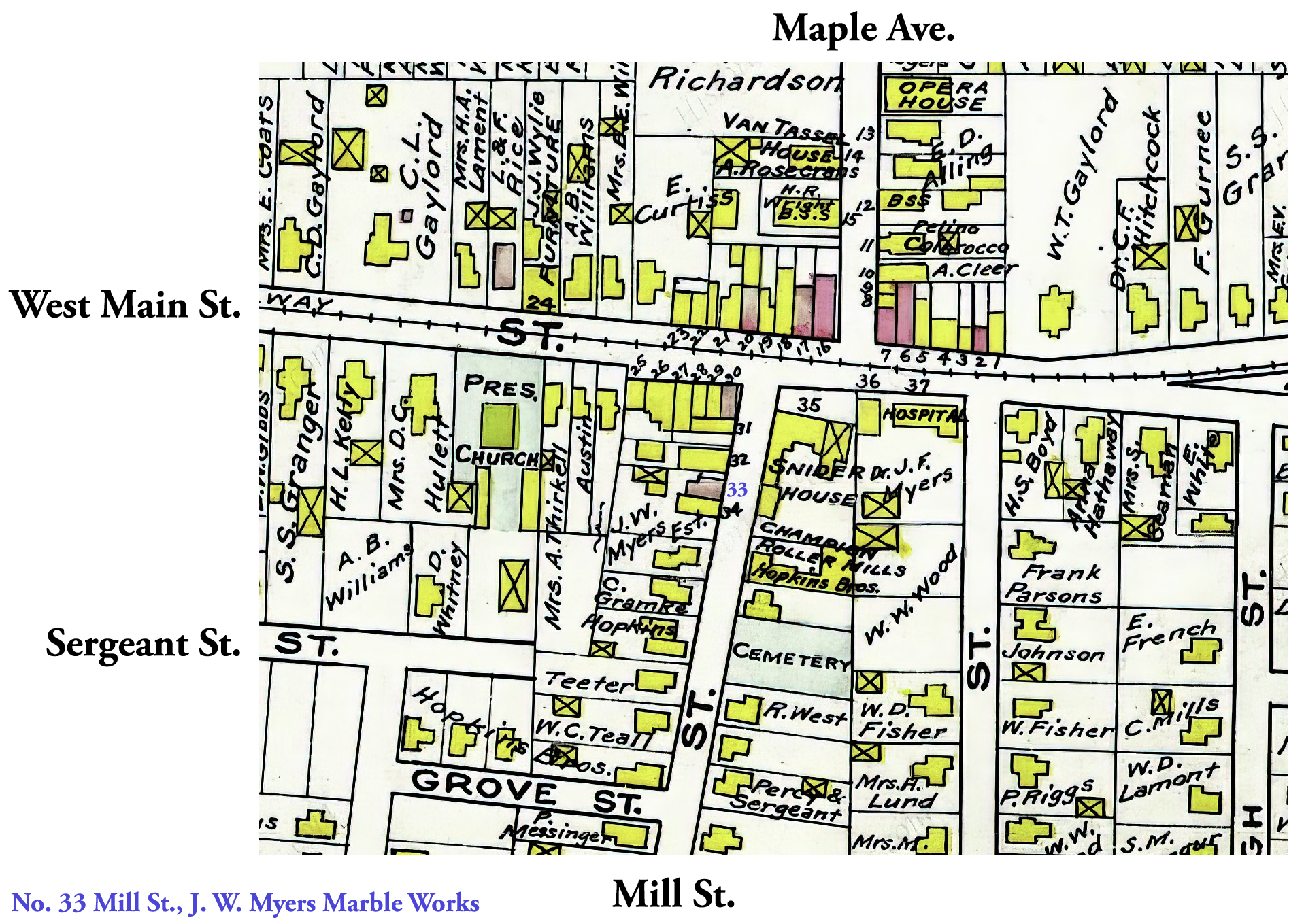 Sodus Village 1904 Atlas Sod-48 Excerpt.jpg ² | 
|
¹ 1858 Wayne County Map Sod-48 Excerpt courtesy Library of Congress.
² 1904 Atlas, Wayne County Map Sod-48 Excerpt, Century Map Co.
